data source · draft
KartaView
Grab's street-level photo platform, collected by volunteers with phones and cameras to help improve OpenStreetMap; imagery under CC BY-SA 4.0.
What is reusable: open sourceopen dataAPIopen participation imagery and 3D spatial data CC BY-SA 4.0, credited "© Grab and KartaView Contributors"; code MITThe documentation gives api.openstreetcam.org as the API host; on 30 October 2026 the documented photo search also answered without a token at api.kartaview.org.
Anyone can contribute street-level photos to KartaView with a smartphone and its open-source apps, and anyone can use them.1 It is offered by Grabtaxi Holdings Pte. Ltd. (Grab) under Singapore law, and its terms say KartaView collects, stores and distributes georeferenced street-view imagery and spatial 3D data to help the OpenStreetMap community improve its map.2 Use is free of charge.2 Its documented API and its photo storage sit at openstreetcam.org addresses, and its GitHub organisation holds a repository named openstreetcam.org.3,4,6
Contributors record with the KartaView app or a GPS-enabled camera such as a recent GoPro, mounted to see the road ahead from a car, motorbike or bike, and upload camera photos with a command-line tool.1,5 Recordings at night or blurred ones are rejected.1 Computer vision blurs faces and number plates, which can take one to two days before the photos are public.1 KartaView detects features such as signs, lanes and road curvature in the photos.1 It has also released a 360-degree imagery dataset of Yogyakarta, Langkawi and Krabi collected by GrabMaps with its KartaCam2 camera, and contributors can link a Mapillary account so that one upload appears on both platforms.1
The API serves photos, sequences, coverage map tiles and searches by location without a token; uploads, user profiles and private content need an access token, obtained by signing in with Google, Facebook or OpenStreetMap.3 The documentation also covers 3D and point-cloud uploads and viewing.3 Each photo record gives its position, time, heading, GPS accuracy, size and links to the processed image.6 The home page points to plugins for the iD and JOSM map editors.1
The terms license the street images and 3D spatial data under Creative Commons Attribution-ShareAlike 4.0 and the code under the MIT licence.2 Anyone may copy, distribute and adapt the data if they follow the licence and use the credit "© Grab and KartaView Contributors".2 Grab gives no guarantee of the accuracy of the content and may suspend access at any time.2
For someone modelling a road network or a neighbourhood, KartaView is another source of dated street photos, licensed for reuse and for OpenStreetMap work, and worth checking where Mapillary or Panoramax are thin.
- coverage
- worldwide wherever contributors have recorded; no coverage figures found on its pages
- resolution
- individual geolocated photos in sequences; 360-degree imagery for some places
- cadence
- continuous as contributors upload; photos public after privacy blurring, which can take one to two days
- access
- free; public API endpoints for photos, sequences and coverage tiles need no token, uploads and user data need an account
- format
- JPEG photos; JSON API; map tiles of coverage
- homepage
- https://kartaview.org/
does a similar job
-
Meta's street-level photo platform: pictures people take with phones and action cameras, joined into street views, with detected traffic signs and street features as map data.
open dataAPIopen participation
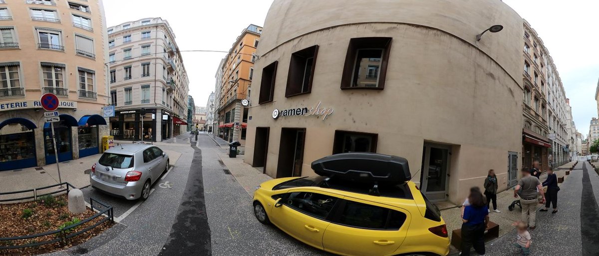
Open street-level photos held on many independent servers and searched through one catalogue; supported by France's IGN and developed with OpenStreetMap France.
open sourceopen dataAPIopen participation
contributes to this work

Volunteer-built open map database of the world, covering roads, buildings, land use and places, and the base layer for most models of places.
open dataopen participation
alternative to
-
Meta's street-level photo platform: pictures people take with phones and action cameras, joined into street views, with detected traffic signs and street features as map data.
open dataAPIopen participation
-
Open street-level photos held on many independent servers and searched through one catalogue; supported by France's IGN and developed with OpenStreetMap France.
open sourceopen dataAPIopen participation
needed by
-
Open-source browser globe by Bilawal Sidhu and Sameh Khamis that puts live public feeds on Google's photorealistic 3D tiles: aircraft, ships, satellites, earthquakes, fires, weather, public cameras.
open sourcepartly open dataopen participation
Tags: street-level imagery, photos, OpenStreetMap, Grab, open data