Notable twins
Models of real places that people run and publish, and what in each is open.
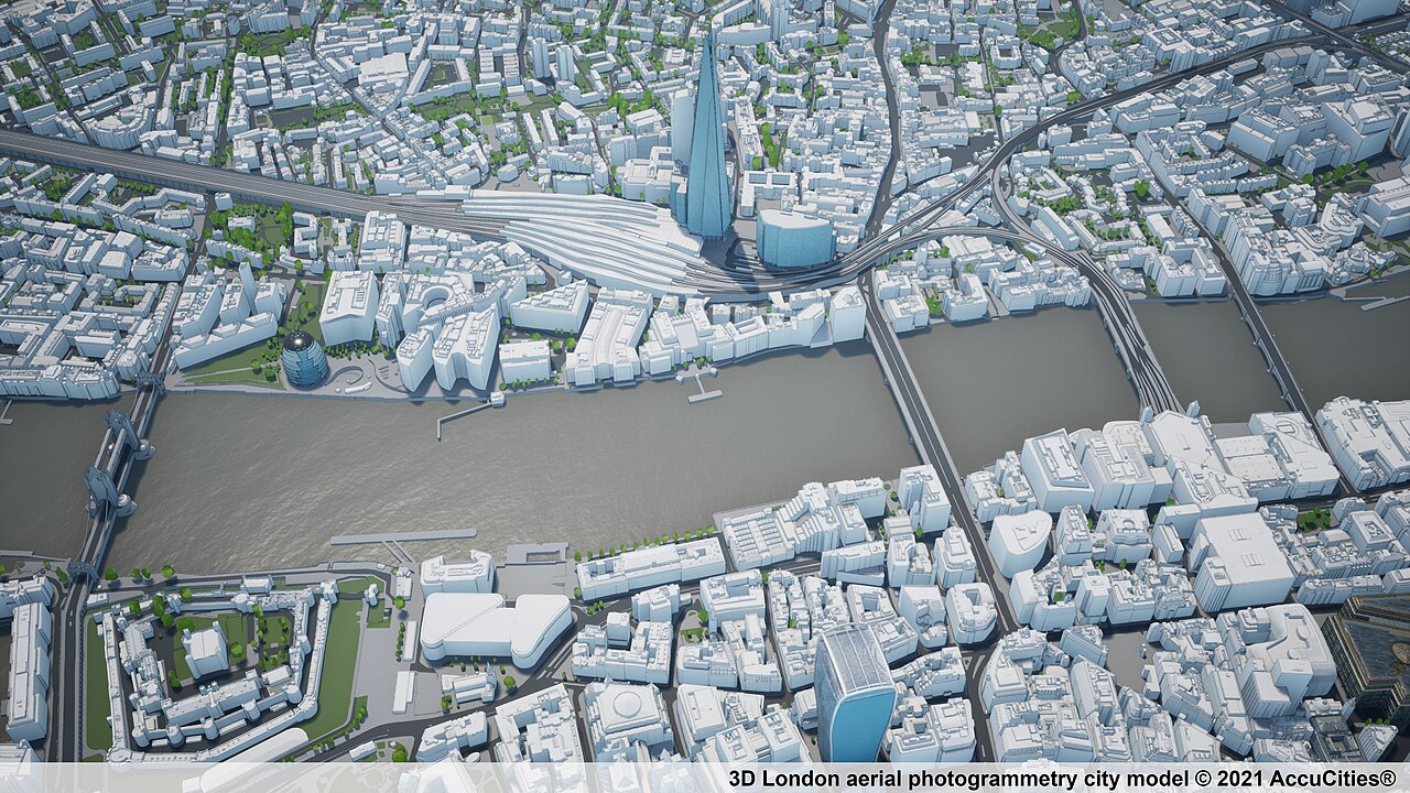
A photogrammetric model of London: the spatial setting into which data and simulations are integrated. Credit: AccuCities, CC BY-SA 4.0, source.

The City of Amsterdam's browser 3D viewer of the city, which runs on Netherlands3D, an open-source Unity digital-twin framework begun for 3D Amsterdam and 3D Utrecht and now developed for the whole Netherlands.
Cities & places open sourceopen participation
-
The Municipality of Rotterdam's 3D city model and browser viewer, built from its base registers, lidar and aerial photographs, covering buildings, terrain, trees, street furniture and underground cables and pipes; the data is published for anyone to use.
Cities & places open dataAPI
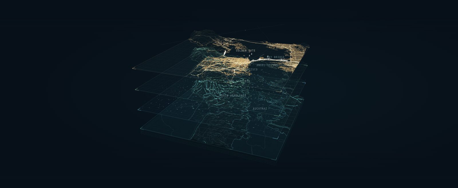
A layered portrait of San Francisco Bay that explains a digital twin as four shared geographic layers: earth and seabed, natural forces, living systems and the built world.

The City of Boston Planning Department's GIS Lab maintains a citywide 3D model of terrain, groundplan and buildings, used for planning and development review and published for download in the public domain.
Cities & places partly open sourceopen data
Mehmet Kerem Turkcan's city-scale digital twin of New York City's five boroughs, compiled from public municipal records, with real-time rendering, traffic and pedestrian simulation and a CARLA-style Python API.
Cities & placesMovement & logisticsSensory landscape open sourcepartly open dataAPI
The Chesapeake Bay Program's web-based watershed model of the Chesapeake Bay, United States; a planner picks an area and management practices and it estimates the resulting nitrogen, phosphorus and sediment loads and their cost.
WaterLiving systems open datapartly open participation

The European Commission's digital replica of the ocean, built and run by Mercator Ocean International and the Flanders Marine Institute; a public platform that joins Copernicus Marine and EMODnet data with ocean models and what-if scenario applications.
WaterLiving systemsWeather & climate open dataopen participation
-
A modelling and monitoring system for the Great Barrier Reef built by CSIRO, the Australian Institute of Marine Science, the Bureau of Meteorology and the Queensland Government with the Great Barrier Reef Foundation; it simulates water movement, sediment, waves and biogeochemistry from the catchments to the open ocean.
WaterLiving systems open sourceopen dataAPI
-
The City of Helsinki publishes its 3D city models and an energy and climate atlas as open data; the Municipality of Bologna is building a digital twin as civic infrastructure with a public research consortium.
Cities & placesEnergy partly open datapartly open participation
-
A Horizon 2020 project of 56 partners that builds virtual representations of the sea from earth observation, models and digital infrastructure, and runs a marketplace where digital twins, models and their components are listed and shared.
WaterLiving systems partly open datapartly open participation
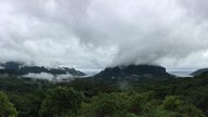
A sustainability simulator of the island of Moorea, French Polynesia, led by the IDEA Consortium from the University of California's Gump South Pacific Research Station; it models links between climate, environment, biodiversity and human activity across the island and its lagoon.

DCS Spatial Services, the New South Wales government's spatial data authority, runs a 3D and 4D visualisation platform and data-sharing portal for the state, used by agencies and councils for planning, asset management and emergency response.
Cities & places partly open dataAPIpartly open participation
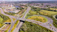
Tees Valley Combined Authority runs a live model of the region's roads, built on Aimsun Live, at the traffic control centre in Middlesbrough; it spots late-running buses and triggers pre-approved signal timing changes.
Movement & logistics closed source
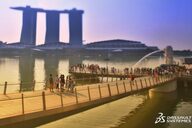
A 3D model of Singapore built by the National Research Foundation, the Singapore Land Authority and GovTech on Dassault Systèmes' 3DEXPERIENCity platform, for planning analyses and simulations across agencies.
Cities & places closed sourceclosed dataclosed participation
-
The City of Zürich publishes its 3D city model, a roof-and-building model derived from the cadastral survey and photogrammetry, plus year-stamped LoD2 models and historical reconstructions, as open geodata with download and web services.
Cities & places open dataAPI