tool · draft
Google Earth Engine
Google's cloud platform for analysing satellite imagery and map data from its own catalogue, through a browser code editor or Python; free for noncommercial use within quotas, paid otherwise.
Cities & placesLiving systemsWater
What is reusable: partly open sourcepartly open dataAPIclosed participation Apache-2.0The Python and JavaScript client libraries are open source; the platform that runs the analysis is not.
Google Earth Engine is a Google Cloud product that pairs a large catalogue of satellite imagery and geospatial datasets with Google's computing, so an analysis runs on Google's servers instead of on the user's own machine.3 Google describes its users as researchers, nonprofits, educators and government agencies, who use it to detect changes, map trends and measure differences on the Earth's surface.1,2 The paper to cite is Gorelick and co-authors, "Google Earth Engine: Planetary-scale geospatial analysis for everyone", in Remote Sensing of Environment, 2017.2
The public catalogue holds more than eighty petabytes of data and is updated and expanded daily.1 Google's pages put its reach back in time at more than thirty years on the home page and more than forty years in the catalogue and FAQ.1,2,4 It includes the whole USGS and NASA Landsat archive, which has imaged the Earth since 1972 and now covers the surface at 30-metre resolution about every two weeks.2,4 Alongside it are daily MODIS imagery going back to 1999 and Sentinel radar and optical imagery.4 There is US aerial photography at one metre (NAIP) and global elevation at 30 metres (SRTM).4 Land cover maps include Dynamic World and ESA WorldCover.4 Weather and climate data run from forecasts through reanalysis to downscaled climate projections.4 The Satellite Embedding Dataset, built with Google's AlphaEarth Foundations model, packs a year of data from several sources into every 10-metre pixel.1 Users can upload their own raster and vector data, such as GeoTIFFs and shapefiles.2
There are two ways to work. The Code Editor is a web page for writing JavaScript, with a map, a console, a task list, drawing tools for marking areas, and a link button to share a script.5 The Python client library, earthengine-api, is already installed in Google Colab and otherwise installs with pip or conda; it has to be authenticated and tied to a Google Cloud project before use.6 Work can run interactively for quick looks or as batch jobs for large ones.3 Results can be exported to Google Drive or Cloud Storage, downloaded into Python's data tools, or published as small web apps.3 Machine-learning tools for classification, regression and image segmentation are built in.3 Google says the scripts a user writes and the results of the analysis belong to the user.2 The client libraries are open source under Apache-2.0; the processing itself happens on Google's side.5,10
Access starts by registering a Google Cloud project.2 It is free for noncommercial use by nonprofits, by students and staff at schools and universities for research or teaching, by news organisations, by trainers and trainees during a course, and by individuals.7 A government agency gets it free if it is in a UN Least Developed Country, is a recognised Indigenous government, or is doing scholarly research.7 Government work that is maintained on an ongoing basis needs a commercial licence.7 Free users may not use it for paid fee-for-service work.7 Since 27 April 2026 Google has been rolling out a monthly compute quota for each noncommercial project, counted in EECU-hours (an hour of one Earth Engine compute unit, Google's measure of processing power).8 The default Community tier allows 150 a month.8 The Contributor tier allows 1,000 and needs a billing account, though noncommercial use is not charged.8 The Partner tier allows 100,000 and is by application, for climate and nature work.8 Past the quota, work still runs but more slowly, and noncommercial status has to be reverified every year.8 Commercial use can be pay-as-you-go on the Limited plan, or a monthly plan: Basic at $500 and Professional at $2,000, each with some compute and storage included, and Premium priced on request.9 Compute beyond that costs $0.40 per EECU-hour, falling to $0.28 and $0.16 at higher monthly volumes.9
For someone modelling a place, Earth Engine gets the ground under the model without downloading whole archives.3 Land cover, elevation and decades of imagery can be clipped to a watershed or county and exported as inputs.3,4 Whether that is free depends on who is doing it and why: a nonprofit's or a student's noncommercial project qualifies, while a government agency running it as an ongoing service needs a commercial licence.7
- form
- hosted analysis platform with JavaScript and Python APIs
- group
- Earth observation and AI
- homepage
- https://earthengine.google.com/
- licence
- client library Apache-2.0; the service is Google's
- cost
- free for noncommercial use within monthly compute quotas; commercial use billed by usage, with plans from $500 a month
helps answer this question
-
If land changes use, farm to housing, forest to pasture, floodplain to park, what happens to water, habitat, carbon and food?
parts
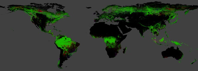
The University of Maryland's global 30 m maps of tree cover in 2000 and of the year forest was lost since, from Landsat imagery; updated yearly, free under CC BY 4.0.
open dataAPI
alternative to
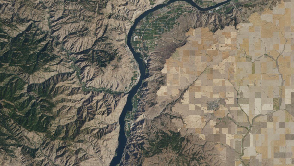
Microsoft's free catalogue of satellite imagery and environmental data on Azure, searched through a STAC API; its notebook service closed in 2024, so users bring their own computing.
partly open sourceopen dataAPIopen participation
Tags: satellite imagery, remote sensing, land cover, Python, JavaScript, cloud