Platforms
Where models and data are kept, run and connected.
Where models and data are kept and run. A geographic information system holds the layers of a place. A cloud twin service links them to live sensor data. An imagery platform runs analysis next to a satellite archive, and a research environment lets a team share notebooks and workflows. Routing and index services compute a route or a drought index on request.

Cloud services from Microsoft (Azure Digital Twins) and Amazon (AWS IoT TwinMaker) for describing the entities and relationships in a place and connecting them to live device data.
Cities & places closed sourceAPI
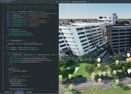
Bentley Systems' iTwin Platform of cloud APIs and its open-source iTwin.js library, for building applications on infrastructure digital twins that combine engineering, reality, GIS and IoT data.
Cities & places partly open sourceAPI

Open-source Python library by James Adams that computes drought, fire and flood-potential indices such as SPI, SPEI, the Palmer family and KBDI from station or gridded precipitation and temperature.
Weather & climateWaterFire open source

Feature of Deltares' Delft-FEWS forecasting platform, from version 2026.02, that pulls Google Flood Hub river forecasts and flood status through Google's Flood Forecasting API so forecasters can compare them with their own models and observations.
Esri's commercial geographic information system; creates, manages, analyses, maps and shares spatial data, and is the geographic base of many city and infrastructure twin projects.
Cities & places closed source

Experimental Gemini-based agent from Google Research that plans a multi-step spatial analysis, calls Earth AI models and geospatial data sources, and returns the result with its plan and sources shown.
Cities & placesPeople & societyWeather & climateEnergy closed sourceAPI
-
Google's cloud platform for analysing satellite imagery and map data from its own catalogue, through a browser code editor or Python; free for noncommercial use within quotas, paid otherwise.
Cities & placesLiving systemsWater partly open sourcepartly open dataAPIclosed participation
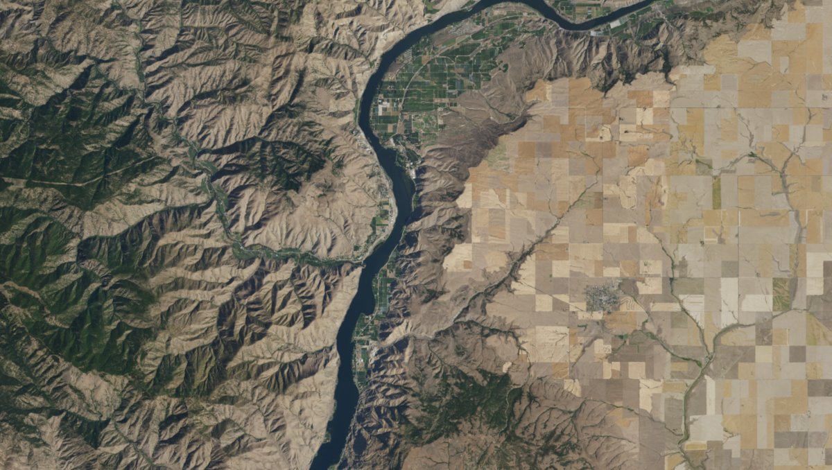
Microsoft's free catalogue of satellite imagery and environmental data on Azure, searched through a STAC API; its notebook service closed in 2024, so users bring their own computing.
Cities & placesLiving systemsWeather & climate partly open sourceopen dataAPIopen participation
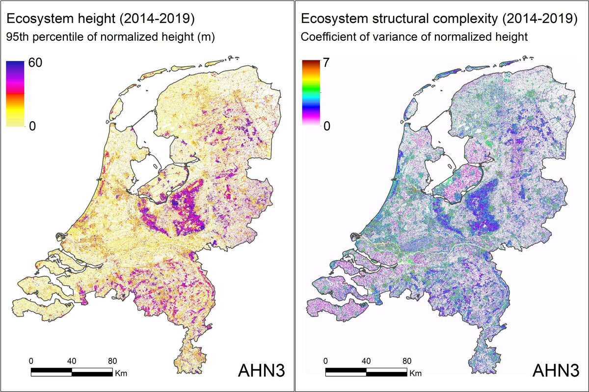
Open-source platform from LifeWatch ERIC and the University of Amsterdam that makes Jupyter notebook code into shared cloud workflows, organised in virtual labs.
Living systems open sourceopen participation
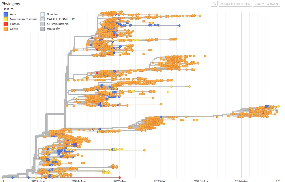
Open-source tracking of how pathogens evolve and spread, rebuilt from shared genome sequences as they arrive; live views of H5N1 bird flu, measles, mpox, Ebola, SARS-CoV-2 and many more.
People & societyLiving systems open sourceopen dataopen participation

Open-source C++ routing engine that finds fastest routes, travel-time tables and map-matched GPS traces on road networks built from OpenStreetMap, for car, bicycle and walking.
Movement & logistics open sourceopen dataAPIopen participation